Imagine a métier where creativity really matters, where you craft unique new landscape with every choice you make. That’s precisely the gambit of cartography.
A few decades ago, a person lost at night would pull his car over, take out a paper map bought at a gas station, and hunt his destination over its folds under a dim light. With luck and some critical thinking, he would eventually get where he was going. Today, he’d be more likely to swipe his finger across his smart phone screen and follow the directions using Google Maps.
About six score and five years ago, The United Nations gave cartography its first official definition. In the formal elucidation, it was defined as
being the science of preparing all types of maps and charts, including every operation from the original survey to the final printing of maps.
However, it has always been visualized as a blend of science and art. Recent discussions about the nature of cartography have yet to forsake the notion of cartography as an art or a science or some amalgamation of the two. Yet changing definitions have not changed the way cartographers think about cartography.
Image courtesy: Esri
Cartography is a key to mankind. The primary purpose of cartography has always been the creation of the most exact reflection of reality or the graphically true representation of space.
To achieve these aims, cartographers in the past made their maps to high artistic standards. To increase the aesthetic effect of their products, the titles and legends were surrounded with artistic figures and the map frame was also artistically drawn.
The purpose of such artistic work was to help the recognition of reality on the basis of the use of the maps; at the same time, the attractive figures made the map readers interested in the map and its use. The basic purpose of the maps, however, was still to reflect reality as perfectly as was possible given the knowledge of the time.
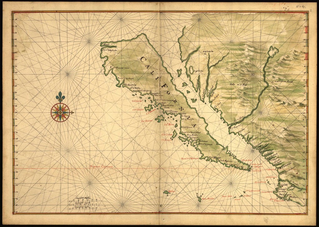
Combining science, aesthetics, and technique, cartography builds on the premise that reality can be modelled in ways that communicate spatial information effectively. From exploring distant lands to claiming them, maps have exposed a lot about the world throughout history. In the most intriguing years of its development i.e. the Post Renaissance ages of Exploration and Discovery, the aim of cartography was to orchestrate the elements of the map to best convey its message to the audience.
In its early years, cartography was not divorced from the power relations of any human society, past or present. Cartographers around the world drew into their maps what they observed, the way they viewed their surroundings, trying to depict a symbolic world beyond the perception of the masses. This made the resulting map a diverse introspection of their experiences and understanding as there never was a single best way to represent either the social or physical worlds.
The National Library of Australia has scored some of the rarest and most impressive maps in the world. The exhibition looks at the history of cartography from the ancient Greek world (particularly the ancient Babylonian) and medieval times through to European explorations and voyages of Cook and Flinders. However, the map designed by an Italian monk Fra Mauro has always fascinated visitors the most.
On his map, Fra Mauro worked with another cartographer, Andrea Bianco, who was also the captain of a ship. With his assistance, Mauro was able to locate the various continents on his map. He also had access to other authoritative maps and bodies of work, such as the Geographia of Claudius Ptolemy, an ancient Greek scholar who created a mapmakers’ manual listing 8000 places in the known universe. He was working in Venice, which was the trading and gossip hub of the world. Information flowed around the city. This was reflected in Fra Mauro’s finished map, a lavish, four-square-metre display that’s not just beautiful but crammed with information. Just a quick glance at the Fra Mauro and it is not hard to notice the notes scribbled literally everywhere, labels affixed to nearly every vacant inch of the map. It is like a 15th century, hand-painted Wikipedia (there’s no better way to put it).
In present day scenario, cartography is not very popular as a profession and is a dying art. Maps are no longer drawn by hand. Over the years, we have developed tools to make mapping more accurate. But every now and then cartography is resuscitated by contemporary cartographers and their works.
Image courtesy: HERE 360
Jeremy White, a part of the rare breed of contemporary cartographers describes cartography as one of the “oldest forms of graphic design”. His unique and intricate map designing skills have landed him his current job as an interactive cartographer at The New York Times and as a self-employed designer for his media company, ‘blueshirt.com’. Over 12 years of self-employment, he honed his three-dimensional graphic design and video skills by creating ads for companies like Toyota; now, he applies those skills to projects like the acclaimed New York Times multimedia story “Snow Fall: The Avalanche at Tunnel Creek“. He is currently a geography Ph.D. candidate at the University of Wisconsin (UW) Madison. He says he decided to attend the UW Madison program—one of the few in the country that provides advanced training in cartography—“to learn a trade and apply what I already knew.”
To draw attention to cartography as a profession and to perform/promote multi-national Cartographic and GI research, Brasil has awarded cartography its own national day. At the annual “Dia de Cartografo” on May 6 the importance of maps and mapping for environmental issues, urban planning, tourism, disaster management or more general for supporting decision-making in the country is celebrated. This provides an excellent possibility to make everybody aware of the importance and significance of cartography. The cartographic community in Brasil, steered by the Brasilian Cartographic Society, is active in various innovative ways beyond this national day.
The International Cartographic Association (ICA), founded on 9 June 1959, in Bern, Switzerland, zeroes in on promoting the disciplines and professions of cartography and GI Science in an international context. The aim of ICA is to ensure that cartography and GI Science are employed to maximum effect and full potential for the benefit of society and science through promotion and representation of the disciplines and professions of cartography and GI Science internationally. Throughout its 50-year history, ICA has brought together researchers, government mapping agencies, commercial cartographic publishers, software developers, educators, earth and environmental scientists, and those with a passion for maps.
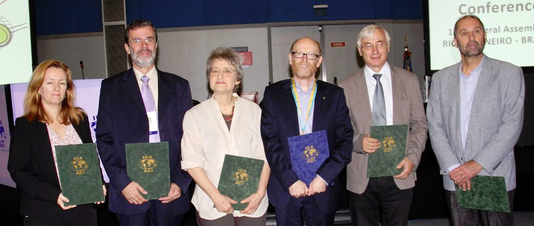
In their 27th conference that took place in Rio de Janeiro, 23-28 August 2015, the ICA tried to draw attention towards the relevance, the attractiveness and the contemporaneity of maps and cartography and form a global community of cartography and GI Science.
From being a tool for subjugation to diversifying human perception, cartography and cartographers, together have been the evangelists of the new reality. As long as we have places to go and treasures to find, there will always be a need for cartographers and less excuse than ever before of losing your way!


